Historical Marker: Minnehaha County
Introduction
Text-to-speech Audio
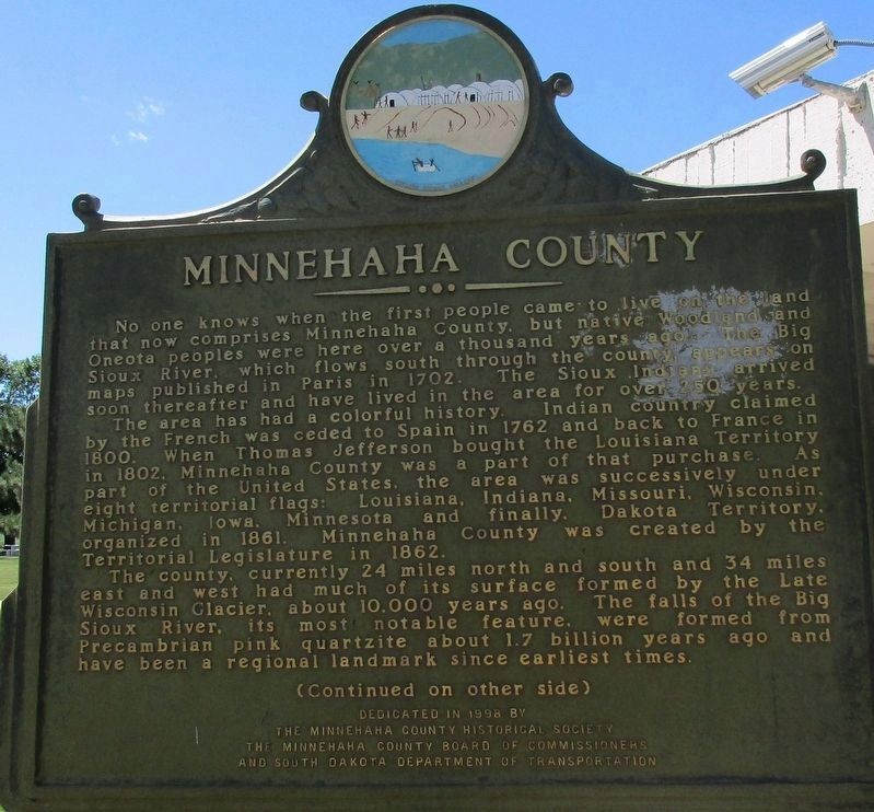
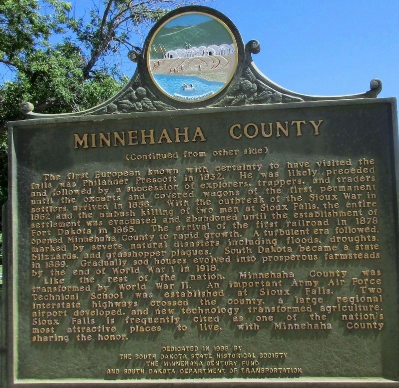
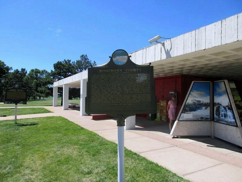
Located just past the South Dakota-Minnesota border at the Valley Springs Information Center, this historical marker gives an overview of Minnehaha County's history. It first describes the Native Americans who have inhabited the area; the first were the Woodland and Oneota peoples who appeared about 1,000 years ago. Eventually the Sioux arrived around 1700. The marker then discusses the how the county, which was part of much larger territories, changed hands from the French, Spanish and eventually the United States (as part of the enormous Louisiana Purchase of 1803). The county was then part of eight territories before finally becoming a county in 1862. The marker also describes how the Late Wisconsin Glacier formed the county's topography, and the it talks about the Big Sioux River falls, which features pre-cambrian era pink quartzite rock that was formed over one billion years ago.

Images
The front side of the marker
The back side
The marker is just in front of the information center
Cite This Entry
M., Ben. "Historical Marker: Minnehaha County." Clio: Your Guide to History. December 12, 2016. Accessed July 26, 2025. https://theclio.com/entry/28993
Sources
"Minnehaha County." The Historical Marker Database. Accessed December 12, 2016. http://www.hmdb.org/marker.asp?marker=97379.
Photos by: Rev. Ronald Irick
Photos by: Rev. Ronald Irick