Welcome to Uppertown
Introduction
Text-to-speech Audio
Images
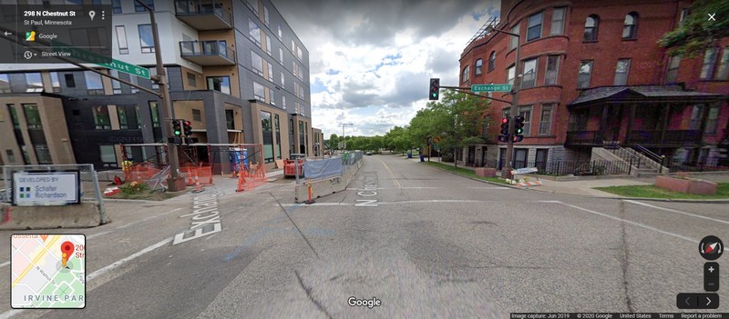
Exchange and Chestnut
Backstory and Context
Text-to-speech Audio
The River
Downhill from where you are standing there was once a boat landing that transformed this place into the head of navigation on the Mississipi River at a time when steamboats were the fastest way to travel and the Mississippi was the busiest "highway" in North America.
Why is it called Uppertown?
St. Paul actually had two boat landings, the lower and upper. This area between the Upper Landing and the High Bridge on Smith Avenue was nicknamed Uppertown. Everywhere you walk today is located in Uppertown.
Uppertown and Irvine Park are the oldest sections of the vast West 7th or West End neighborhood that stretches from Seven Corners (the Xcel Energy Center) to Montreal Avenue where West 7th becomes Hwy 5.
Sources
Millett, Larry. Lost Twin Cities (MNHS Press, 1992)
Google Maps